Expert GIS & Spatial Analysis for Data-Driven Planning.
Transforming geospatial data into actionable insights for businesses, municipalities, and government agencies. Make confident, data-driven decisions with precision mapping.
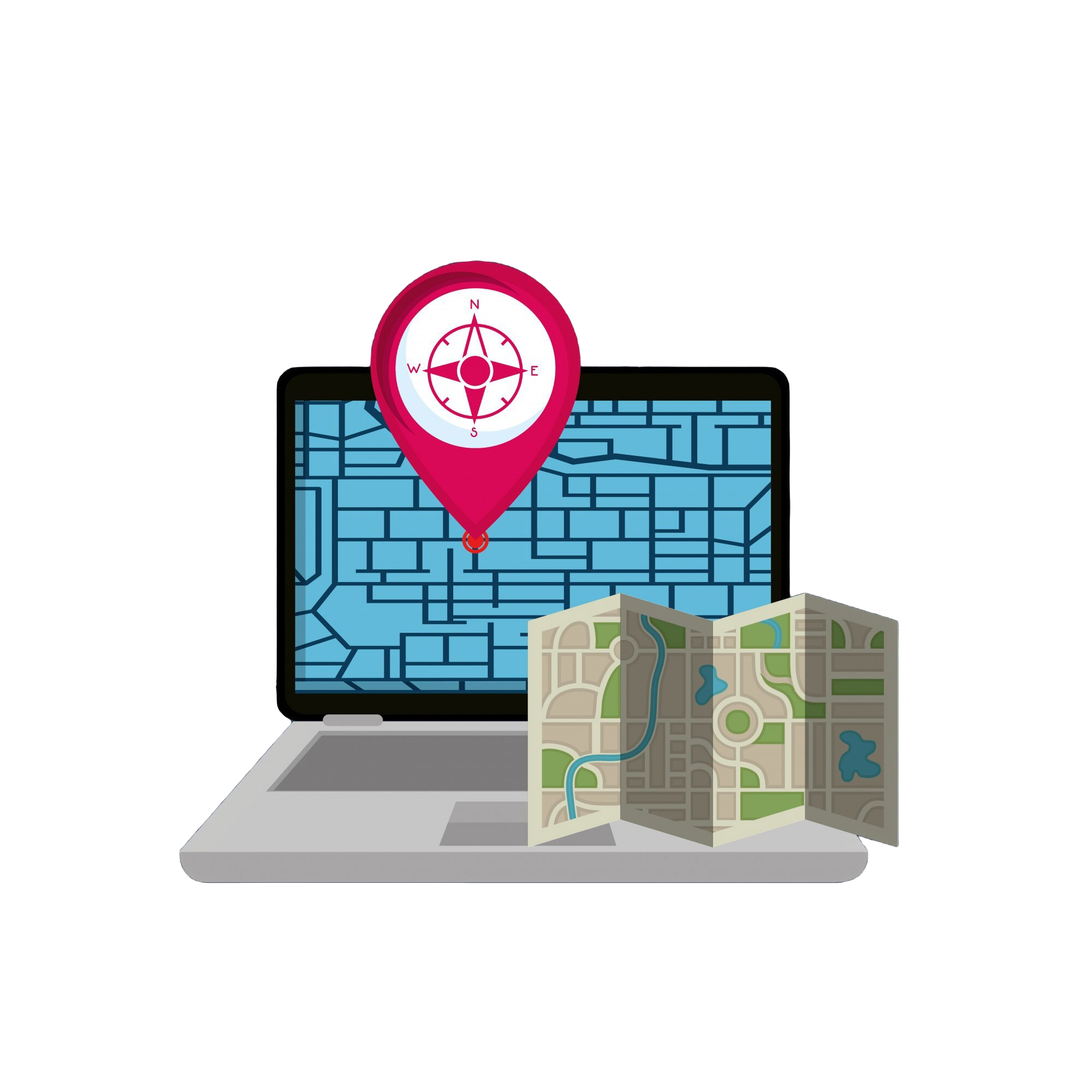
Harness the power of geospatial intelligence to drive smarter decisions. We specialize in GIS mapping, urban planning, and infrastructure analysis, helping businesses, municipalities, and government agencies make data-driven choices with confidence. Our solutions provide clarity in land use, zoning, transportation, and asset management—empowering you to plan, develop, and grow with precision.
Sandhills Mapping & Planning delivers high-precision GIS mapping, spatial analysis, and land planning services. Led by GIS expert Daniel Behnke, AICP, PMP, GISP, we help businesses, municipalities, and government agencies leverage geospatial data for better decision-making.
Whether it’s infrastructure planning, urban development, or environmental mapping—we bring clarity, precision, and innovation to every project.
Custom interactive maps that bring clarity to land use, zoning, and infrastructure planning. We build web-based GIS solutions for real-time analysis and easy access.
Custom map design for various industries.
Real-time GIS visualization for faster decision-making.
Integrated planning tools for businesses and municipalities.
Urban & Land Use Planning
Strategic planning solutions to optimize land use, ensure zoning compliance, and assess environmental impact for sustainable development.
Site selection analysis for businesses and developers.
Regulatory mapping for zoning and land-use compliance.
Environmental impact assessments for informed decision-making.
Infrastructure & Utility Mapping
Comprehensive mapping solutions for transportation, utility networks, and emergency response planning to enhance operational efficiency.
GIS-based asset tracking and infrastructure planning.
Utility network mapping for efficient management.
Emergency response mapping for crisis preparedness.
Sandhills Mapping & Planning is a leading provider of innovative geospatial solutions, specializing in custom mapping, GIS consulting, and spatial analysis. With a focus on accuracy and cutting-edge technology, we deliver tailored services to government agencies and businesses.